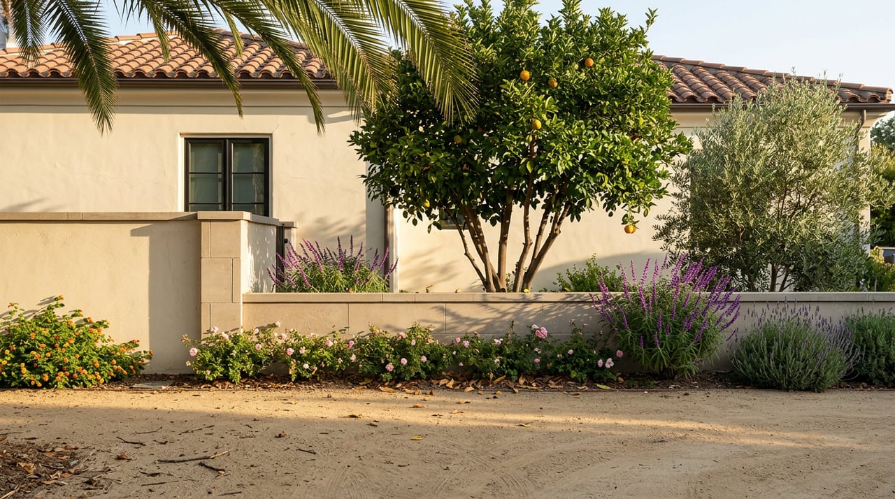
Drive south on Victoria Avenue at 6:45 on an August morning and the shade is doing something specific. The eucalyptus canopy on the median is old enough that the light hits the pavement in long, cool bars rather than a scatter. By 9:30 that same stretch is baking. If you live here, you already know this, and you already know that the greenbelt is not one thing but three linked corridors, each solving a different problem the season throws at you.
The claim of this piece is small and, we hope, useful: the Arlington Heights greenbelt is not a preserved landscape. It is a maintained one. What looks like a heritage postcard is the ongoing work of two nonprofits, a state park staff, and a City parks department, and the practical shape of a resident's weekend changes depending on which corridor you pick and when.
Three corridors, one greenbelt
Victoria Avenue runs the spine. Historic Victoria Ave. is the most scenic on-road running spot in the Riverside area, a divided scenic street originally developed in 1892, popular for its many trees and exotic plants used to landscape the route, with navel orange groves surrounding the area, and there is a separated path alongside the road that provides some shade. Overall, the road runs for 7.6 miles from La Sierra Ave. north to Arroyo Dr., with good parking access at the Arlington Sports Complex.
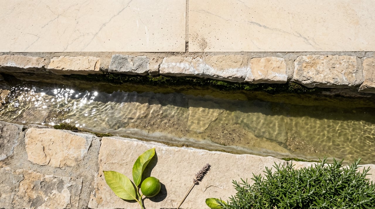
The Gage Canal Trail is the quiet alternate. You can incorporate Victoria Ave. with the Gage Canal Trail, a gravel path along the Gage Canal that can be picked up off Central Ave./Arlington Ave. It is unpaved, mostly straight, and takes you off traffic without a car ride.
California Citrus State Historic Park closes the loop at the south end. The park is located at 9400 Dufferin Ave, Riverside, CA 92504, and is open for day use from 8:00 A.M. to 5:00 P.M. The Visitor Center is open Friday through Sunday from 10:00 A.M. to 4:00 P.M.
Three corridors, one connected system. What follows is how a resident actually threads them.
Victoria Avenue is a maintained landscape, not a preserved one
The distinction matters because it tells you why some blocks look immaculate and others look thin. Victoria Avenue is a broad, landscaped thoroughfare, 120 feet wide with two traffic lanes separated by a thirty-foot median, the median and side parkways planted with trees, shrubs and roses. In effect, the avenue is a linear park and arboretum, seven and a half miles long, that is perfect for walking, jogging, and bicycling, or for a leisurely Sunday drive.
The trees on that median are the same age. Reforestation of the parkway trees is a matter of great concern owing to the uniform age, but there is no dependable source of water for any young trees that may be planted in the future; formerly, the parkway trees received run-off water from the groves, but since many growers have converted to drip or spray irrigation, that source is no longer available. That is why you see the volunteer group Victoria Avenue Forever cited on so many benches and beds. In ten years, VAF volunteers have planted some 800 trees, almost all of them commemorative trees. If you have wondered why there is a small, tidy demonstration garden at Victoria and Jane, Victoria Avenue Forever designed, funded, planted, and now maintain the garden at Victoria and Jane; it is filled with colorful, drought-tolerant perennials and shrubs, including Lantana 'Radiation' and Mexican bush sage (Salvia leucantha).
Two footnotes worth carrying with you on a walk. The first: Hosp discovered the 'Cecille Brunner' rose near Victoria Avenue and in 1894 introduced it to the nursery trade. The second: In May 1903, President Theodore Roosevelt toured the Avenue and dedicated a palm tree at the head of the avenue to commemorate his visit. The formal recognitions came later. On June 11, 1969, Victoria Avenue was declared City of Riverside Cultural Heritage Landmark #8, and in October 2000 Victoria Avenue was given national historic recognition, when it was added to the National Register of Historic Places.
When the pavement gets hot, take the canal
August afternoons make the median walk on Victoria unpleasant even under the shade bands. The Gage Canal dirt path is the local's workaround. It is flatter than it looks, it holds less radiant heat than the asphalt shoulder, and it lets you turn a linear run or ride into a loop.
For a family ride, the pavement is easier. The six-mile Victoria Avenue Bike Path in Riverside dates all the way back to 1892 and is even listed on the National Register of Historic Places; bikers experience a peaceful ride through the quaint neighborhoods of Riverside and rural orange groves, and it is known as an easy, family-friendly trail on flat ground with plenty of shade.
A practical note on parking: the Arlington Sports Complex lot is the standard staging point, and it is where most morning groups meet before summer heat builds.
Read the state park rules before you drive over
The Citrus Park is the easiest place to bring out-of-town guests. It is also the place where locals routinely get caught out by the rulebook. A short version, worth memorizing:
| Question | Answer |
|---|---|
| Hours | Day use 8:00 A.M.–5:00 P.M.; Visitor Center Fri–Sun 10:00 A.M.–4:00 P.M. |
| Address | 9400 Dufferin Ave, Riverside, CA 92504 |
| Dogs | Leashed on trails; not allowed in the visitor center/museum |
| Drones | Prohibited over park property |
| Speed limit | 15 mph for vehicles and bicycles |
| Fruit | You may not pick it |
| Alcohol | Prohibited within the park |
On the last point: visitors cannot pick their own fruit. Unauthorized picking and taking of fruit at California Citrus State Historic Park is prohibited under Title 14 CA Adm. Code CCR 4306(a). The trees look like an orchard because they are one, but they are state property.
What the park is genuinely good for is a shaded picnic and a slow walk. There is an abundance of picnic areas scattered throughout the park along with several group picnic areas located near the gazebo, and the large grass area adjacent to the Sunkist center is also great for outdoor activities and lounging. If you are hosting, the group picnic areas near the gazebo book quickly on Saturdays from October through May.
One quiet fact that changes how you plan a family visit: California Citrus State Historic Park is one of the participating California State Parks that you can visit for free with the 4th Grade Adventure Pass.
A weekend, sketched
The greenbelt rewards timing more than distance. Here is how residents actually stack it in August.
| Window | Where | Why |
|---|---|---|
| 6:30–8:30 A.M. | Victoria Avenue path or Gage Canal Trail | Shade bars still long, air below 80° |
| 9:00–10:30 A.M. | Citrus Park grove tour, from the Sunkist Center | Visitor Center just opened, groves quiet |
| Midday | Off the greenbelt, indoors | The eucalyptus canopy is not enough |
| 5:30–7:30 P.M. | VAF garden at Victoria and Jane, then a slow loop | Golden light on the median palms |
The park's operators, The Friends of California Citrus Park, the official non-profit partner supporting the California Citrus State Historic Park, founded in 1994 to preserve the precious citrus history located on 247 beautiful acres of land in Riverside, California, aims to support and operate the maintenance of the park's orange groves, citrus production, the Sunkist Center, amphitheater, and group picnic event areas. They are the reason the amphitheater programming exists at all.
One date to circle
If you have guests coming next spring, the anchor event is already on the calendar. The 4th Annual Citrus Festival at California Citrus State Historic Park is scheduled for Saturday, March 28, 2026, 11:00 A.M.–5:00 P.M. Hosted by the Friends of California Citrus Park, it features citrus tastings, craft vendors, cultural and educational booths, cooking demonstrations, live music, hands-on activities, a kid's corner with games, crafts and story time, plus food, beverages, and a beer garden. Parking is available for ten dollars at Arlington High School and Bethel Christian School with free shuttle service to the park, and accessible parking is available on site.
For a broader picture of what Riverside runs annually, the Raincross Gazette event roundup is the most complete local calendar we have seen for 2026.
Two questions we get from neighbors
Is there a good north-to-south route that isn't a full 7.6 miles? Yes. Most residents ride or walk in three-mile segments, using the Arlington Sports Complex as a mid-route staging point. The southern half, closer to Van Buren and Dufferin, keeps you next to grove frontage the longest.
Is the Citrus Park worth the drive on a random Saturday, or only on festival days? Random Saturdays are actually better if you want a walk. Festival Saturday draws crowds that fill the shuttle lots at Arlington High School and Bethel Christian School by mid-morning.
Why this matters if you own here
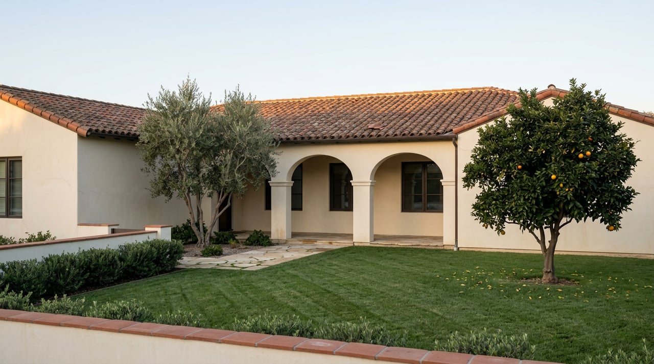
Homes along the Arlington Heights greenbelt sit next to a landscape that only holds its character because specific people keep it alive. That has practical implications for owners: the trees you see from your front yard are, in many cases, someone's commemorative planting, and the roses along the median were re-propagated by hand. When we walk a listing on or near Victoria Avenue, we treat that context as part of the property's story, because buyers who care about this neighborhood are almost always buyers who already know it.
If you are thinking about what your block on the greenbelt is worth today, or how to present a home whose value is tied to a landscape rather than a floor plan, Brad Alewine Group is glad to talk. Contact Us for a conversation grounded in the specific corridor your home sits on.